Where is Balochistan?

1. Where is Balochistan Located and What is Its Area?
Balochistan is the largest province of Pakistan by land area, occupying the southwestern region of the country. It spans approximately 347,190 square kilometers, which constitutes about 44% of Pakistan’s total land area. Despite its vast size, it is home to only around 6% of the country’s population, making it the least densely populated province.
Geographically, Balochistan shares borders with:
- Khyber Pakhtunkhwa and Punjab to the north,
- Sindh to the east,
- The Arabian Sea to the south, and
- Iran and Afghanistan to the west.
This makes Balochistan a strategic hub, not only for Pakistan’s internal connectivity but also for its links to West Asia, Central Asia, and the Indian Ocean. The capital city is Quetta, which also serves as the administrative and commercial center. Because of its critical location, Balochistan is central to many regional projects like the China-Pakistan Economic Corridor (CPEC) and Gwadar Port, increasing its geopolitical and economic significance.
2. What Is the Geographical Structure and Climate of Balochistan?
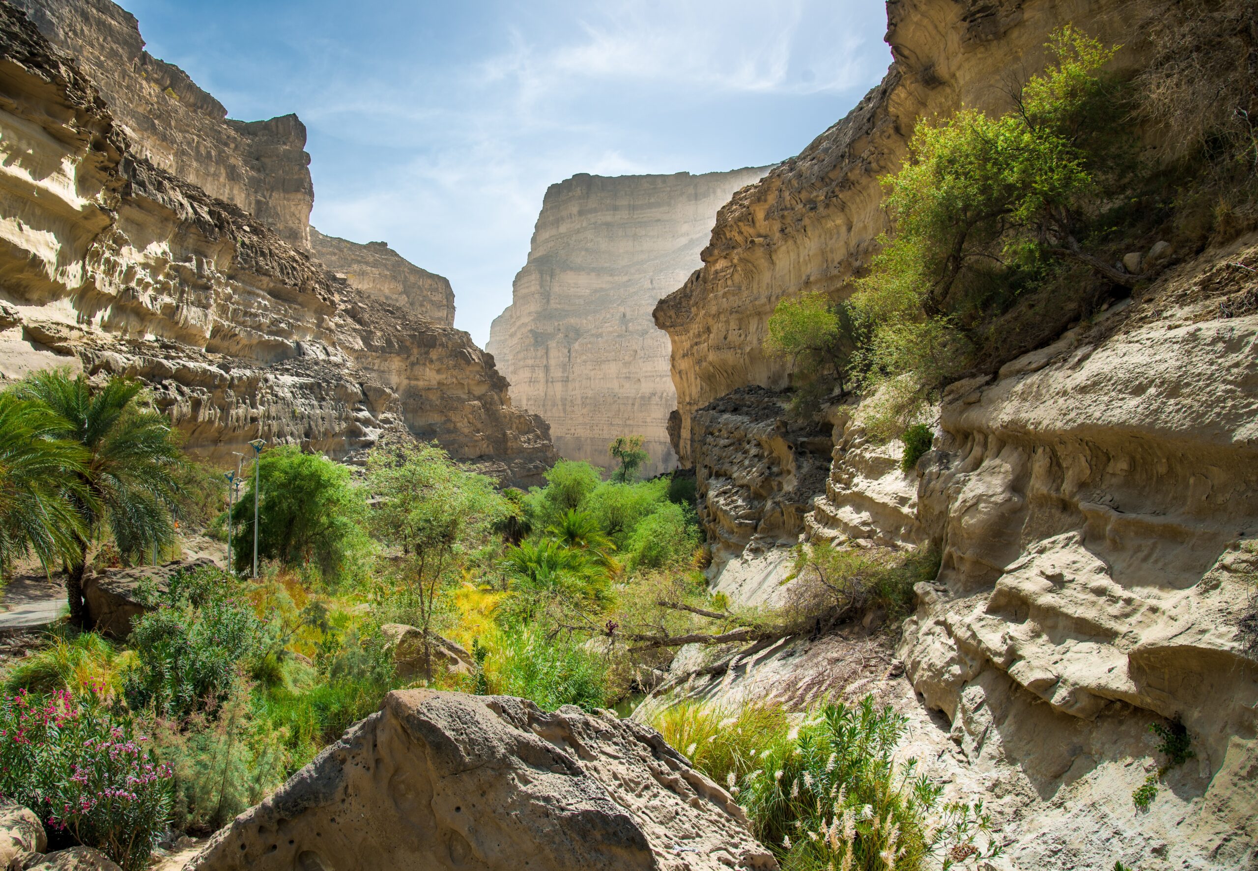
Balochistan’s topography is mostly mountainous and rugged, interspersed with arid plateaus and desert expanses. The Sulaiman Range, Kirthar Mountains, and the Chagai Hills are among the major mountain systems that define the terrain. The Chagai district, famous for being the site of Pakistan’s 1998 nuclear tests, lies in the western highlands of the province.
Several plateau regions, such as those in Quetta, Kalat, and Ziarat, provide a slightly more temperate environment compared to the lowland deserts. Balochistan is also traversed by numerous dry riverbeds, locally known as “Naals”, which only carry water during rare rainfall events.
The climate is primarily arid to semi-arid, characterized by:
- Hot summers, with temperatures soaring up to 45°C or more, especially in districts like Sibi and Dera Bugti.
- Cold winters, where higher-altitude regions such as Ziarat and Quetta often experience temperatures below 0°C, sometimes accompanied by snowfall.
- Extremely low rainfall, generally less than 200 mm annually, making water scarcity a chronic issue in both urban and rural areas.
These environmental conditions contribute to a harsh living environment, impacting agriculture, water availability, and the viability of large-scale human settlements.
3. What Are the Major Natural Resources Found in Balochistan?
Balochistan is often referred to as Pakistan’s mineral treasure chest, owing to its diverse and abundant natural resources. However, the wealth of the land has not yet translated into broad-based economic prosperity for its people. Below are the key resources:
a. Natural Gas and Oil
- The Sui Gas Field, discovered in 1952 in the Dera Bugti district, remains the largest source of natural gas in Pakistan.
- This field has historically supplied gas to Punjab and Sindh, although Balochistan itself suffers from low gas coverage, especially in rural areas—a source of longstanding political grievance.
- Other smaller gas and oil fields have been found in areas like Ziarat, Khuzdar, and Kalat.
b. Minerals and Metals
- Copper and gold: The Reko Diq and Saindak mines are among the richest in the world.
-
-
Reko Diq, located in Chagai district, contains estimated reserves worth over $500 billion.
-
The project has faced legal and political hurdles, including a long-running international arbitration case that was resolved in 2022, clearing the way for renewed development.
-
- Coal: Found in districts like Duki, Machi, and Pir Ismail Ziarat, though mining conditions are poor and unsafe.
- Chromite and iron ore: Present in Khuzdar, Zhob, and Musakhel, vital for Pakistan’s steel and industrial sectors.
- Uranium: Deposits have been identified, but extraction remains limited.
- Marble and limestone: These are found in commercial quantities and are used in both local and international construction projects.
Despite this immense resource base, infrastructure development in Balochistan remains inadequate. Roads, electricity, health facilities, and industrial zones are underdeveloped, hampering local economic upliftment. The lack of equitable profit-sharing and employment opportunities has also fueled discontent among the local population.
Conclusion
Balochistan is a province of immense geographical, strategic, and economic importance. Its location connects South Asia with West and Central Asia, while its natural wealth could fuel Pakistan’s long-term development goals. However, challenges like socioeconomic marginalization, environmental hardships, and political unrest continue to hinder its progress.
To unlock Balochistan’s true potential, sustained investment in infrastructure, education, local industries, and inclusive governance is essential. A more equitable distribution of resources and benefits, along with environmental stewardship, can transform Balochistan into a thriving region that contributes not only to Pakistan’s economy but also to its stability and regional integration.
Share this content:


Post Comment